 English
 العربية

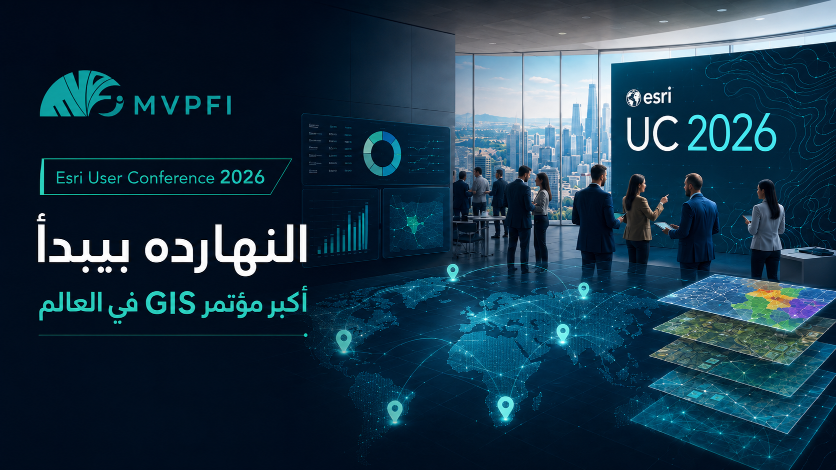
Esri User Conference 2026: Today Marks the Start of the World’s Largest GIS Conference — and Its Connection to Your Business Is Closer Than You Think
With the start of Esri User Conference 2026, the world’s largest gathering for the GIS community, the important question for companies is no longer: “What do maps have to do with our business?” The better question is: “How can location data help us sell better, open smarter branches, deliver faster, and understand the market more deeply?”
Many companies still think of GIS as something mainly related to government, urban planning, surveying, or map production. But today, GIS has become an important part of digital transformation and business intelligence, because it connects data with location and turns abstract numbers into clear decisions on a map.
Esri User Conference 2026 is not just a technical event for mapping professionals. It is a clear sign that the world is moving toward using Location Intelligence everywhere: sales, logistics, real estate, healthcare, retail, supply chains, asset management, smart cities, and customer service.
What Is GIS in Simple Terms?
GIS stands for Geographic Information System. In simple terms, it is a system that helps you collect data, connect it to geographic location, display it on smart maps, and analyze it to support better decisions.
Instead of looking at a spreadsheet showing sales by region, GIS allows you to see sales on a map. Instead of only knowing that one branch is underperforming, you can understand whether the issue is location, nearby competitors, population density, distance from customers, accessibility, or weak marketing coverage in that area.
The power of GIS is not only in drawing maps. It is in turning location into an actionable business decision.
Why Does Esri User Conference Matter?
Esri User Conference is one of the most important global events in the GIS industry because it brings together professionals, companies, governments, developers, and organizations using maps and spatial data to solve real-world problems.
The importance of the conference is not only about its size. It also reflects a major market message: spatial data has become a core element in understanding reality, managing resources, improving services, and planning for the future.
What Does GIS Have to Do With Your Business If You Are Not a Mapping Company?
The connection is closer than you may think. Any company with customers, branches, sales representatives, sales territories, delivery, inventory, assets, field visits, or marketing campaigns can benefit from GIS.
Most business decisions have a location dimension, even if the company does not notice it clearly. Where are the customers? Where is demand higher? Where is delivery cost increasing? Where are the untapped opportunities? Where are competitors located? Where should the next branch open?
Choosing Branch Locations
GIS can help analyze population density, traffic, competitors, purchasing power, and customer proximity before opening a new branch.
Improving Delivery and Logistics
It supports route planning, delivery time reduction, order distribution, and better performance management for drivers or shipping teams.
Analyzing Customers Geographically
Instead of only knowing customer count, you can see where customers are concentrated, where demand is strongest, and which areas need stronger campaigns.
Managing Field Teams
Companies with visits, maintenance, inspections, field sales, or collections can use maps to organize work and improve control.
GIS Is No Longer a Technical Luxury
In the past, geographic information systems seemed like specialized tools that required large teams. Today, with cloud platforms, dashboards, APIs, and integration with business systems, GIS is much closer to companies than ever before.
The idea is not that a small company must start with a complex GIS platform from day one. The practical starting point is to use location data in simple but impactful decisions: customer distribution, sales territories, delivery zones, branch performance, and campaign analysis by region.
Every decision that includes the question “where?” can benefit from GIS.
Practical GIS Use Cases by Business Type
The value of GIS changes depending on the nature of each business. But the common benefit is that it helps management see data on a map instead of dealing with disconnected spreadsheets.
| Business Type | GIS Use Case | Expected Value |
|---|---|---|
| Retail and brands | Choosing branch locations and analyzing demand areas | Better expansion decisions and lower risk |
| Logistics and delivery | Optimizing routes and distributing orders | Lower cost, less time, and better service |
| Real estate | Analyzing areas, prices, and surrounding services | More accurate investment and marketing decisions |
| Healthcare | Analyzing patient distribution, branches, and service areas | Better access to service and smarter expansion planning |
| Field sales | Territory distribution and visit tracking | Higher team productivity and less overlap |
| Services and maintenance | Assigning the nearest team and scheduling visits | Faster response and better customer experience |
What Is the Difference Between GIS and a Normal Dashboard?
A normal dashboard shows indicators, numbers, and charts. A GIS dashboard adds the location dimension. That dimension can completely change how you understand the numbers.
For example, you may see that sales are down in a specific month. But when you display sales on a map, you may discover that the decline exists only in specific areas, or is linked to one branch, or appears in zones far from your warehouse, or happens in an area with a strong competitor.
| Normal Dashboard | GIS Dashboard |
|---|---|
| Shows total sales | Shows sales by area, branch, and service zone |
| Shows customer count | Shows customer concentration and untapped opportunities |
| Measures team performance | Connects team performance to territories, routes, and visits |
| Shows delivery cost | Highlights high-cost areas and their geographic causes |
How Can You Benefit From Esri UC 2026 Trends Even If You Do Not Attend?
Attending the conference is not the only way to benefit from its message. The most important thing is to understand that the world is moving toward decisions that are more connected to location and data. This can be applied inside your company gradually.
Collect Location Data
Start by organizing customer addresses, demand areas, branch locations, delivery zones, and field team locations.
Connect It to Business Data
Link location data with sales, customers, orders, complaints, campaigns, inventory, or service cost.
Display It on a Map
Use interactive maps or spatial dashboards to reveal patterns instead of relying only on tables.
Turn Analysis Into Decisions
Use insights to open branches, improve campaigns, distribute representatives, reduce delivery cost, or improve service.
Where Does Location Intelligence Create Value in Marketing?
Marketing is not only about the audience; it is also about where that audience is located. The same message may succeed in one area and fail in another. The same product may be in higher demand in one governorate than another. The same ad may generate many messages from an area you cannot serve efficiently.
With GIS, a company can analyze campaigns by region, identify areas that generate real customers, compare customer acquisition cost by location, and direct the budget toward higher-quality areas.
Analyze Customer Quality by Area
The important question is not only where messages come from, but where actual sales and better customers come from.
Localize Offers
You can design different offers or messages based on each area’s needs and customer behavior.
Allocate Budget Smarter
Instead of spending the budget equally, you can direct it toward areas with higher conversion and profitability.
Connect Marketing With Field Sales
When you know where demand is located, you can distribute sales representatives, branches, or inventory more effectively.
GIS in Logistics: Cost Reduction Starts on the Map
Any company with delivery or field movement can lose time and money because of poor geographic planning. Inefficient routes, random order distribution, or lack of visibility into pressure areas can lead to higher costs and weaker customer experience.
GIS helps companies see movement, routes, service zones, delay areas, and congestion points. Based on that, they can improve distribution and reduce operational waste.
GIS and Branch Management: Is the Branch in the Right Place?
Opening a new branch is an expensive decision. Relying only on intuition or the popularity of an area may not be enough. With GIS, you can analyze potential customer density, competitors, roads, parking, residential areas, approximate income levels, and movement patterns.
This does not guarantee success by itself, but it reduces risk and makes expansion decisions more data-driven.
Sometimes the difference between a successful branch and a weak branch is not only the product or the team. It is the location, service zone, and ease of access.
How Can Your Company Start With GIS Without Complexity?
The beginning does not need to be a large project. You can start with a small experiment connected to a clear business question. For example: where do most orders come from? Which areas generate higher sales? Where is customer service delayed? What is the best location for a new branch?
| Starting Stage | What to Do | Result |
|---|---|---|
| Define the question | Choose one location-related business problem | A clear goal instead of building a general system without direction |
| Clean the data | Organize customer addresses, branches, orders, and areas | Data that can be analyzed on a map |
| Build an initial map | Display the data on a simple interactive map | Visibility into patterns and important areas |
| Connect to KPIs | Add sales, cost, conversion, or service time | Spatial analysis connected to business results |
| Make a decision and test | Apply a small change and measure its impact | Gradual improvement based on data |
Common Mistakes When Using GIS
Treating GIS as Just a Beautiful Map
The map is not the goal. The goal is a better decision based on clear spatial analysis.
Using Unorganized Data
Inaccurate addresses, inconsistent area names, or missing data weaken the analysis.
Separating GIS From Business Systems
The highest value appears when GIS is connected with CRM, ERP, sales, marketing, and customer service.
Trying to Analyze Everything at Once
It is better to start with one clear question, prove value, and then expand gradually.
A 30-Day Plan to Test GIS Inside Your Company
If your company wants to benefit from GIS and Location Intelligence, you can begin with a simple one-month plan.
Choose a Use Case
Select a clear question: branches, delivery, customer areas, campaign performance, or field team distribution.
Prepare the Data
Collect and clean geographic data: addresses, governorates, cities, districts, branches, orders, or visits.
Build an Analytical Map
Display the data on a map and connect it to indicators such as sales, cost, conversion, or service time.
Make a Decision and Measure
Apply a small decision based on the analysis, then measure its impact before scaling.
Conclusion
Esri User Conference 2026 reminds companies that GIS is no longer a distant field limited to maps. Location intelligence has become an important tool for understanding customers, improving marketing, reducing operational costs, managing branches, developing logistics, and making better expansion decisions.
The connection between GIS and your company starts with a simple question: where is it happening? Where are the customers? Where is demand? Where is cost? Where is the opportunity? When these questions are connected to data, the map becomes a decision-making tool, not just a visual.
Start small: a clear question, organized data, an analytical map, and a measurable decision. Over time, GIS can become a core part of business intelligence and digital transformation inside your company.
Turn Customer, Branch, and Order Data Into Smart Maps That Help You Decide Faster
MVPFI helps you build dashboards and analytical maps that connect marketing, sales, and operations data with geographic location, including CRM and ERP integrations and reports that help management understand opportunities and risks more clearly.
Frequently Asked Questions
What is Esri User Conference 2026?
It is a major global conference organized by Esri for the GIS community, bringing together users, experts, companies, and organizations to explore the latest applications of geographic information systems and location intelligence.
What does GIS mean?
GIS means Geographic Information System. It connects data to geographic location so it can be displayed and analyzed on smart maps to support better decision-making.
Is GIS useful for non-technical companies?
Yes. Any company with customers, branches, delivery, sales territories, field visits, or marketing campaigns can benefit from GIS.
How does GIS help in marketing?
GIS helps analyze customers by area, identify high-demand zones, measure customer quality geographically, and allocate campaign budgets to better-performing regions.
How does GIS help in logistics?
It helps optimize routes, distribute orders, reduce delivery time, and identify high-cost or delayed areas.
Do I need a full GIS system from the start?
Not necessarily. You can start with a simple analytical map for one use case, then expand based on results and business value.
What is the difference between a GIS Dashboard and a normal dashboard?
A normal dashboard shows numbers and indicators, while a GIS Dashboard adds location, showing where sales, problems, or opportunities are happening.
How can MVPFI help apply GIS inside companies?
MVPFI helps analyze business needs, organize data, build maps and dashboards, and connect GIS with CRM, ERP, marketing, sales, and operations to support decision-making.

Add New Comment